


 The Nairobi County Government has officially declared the Nairobi River Corridor a Special Planning Area (SPA) and is inviting residents to submit their feedback within two weeks.
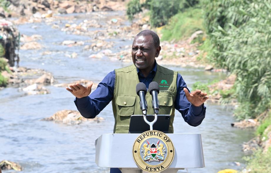
This initiative follows a request from the Ministry of Lands, Public Works, Housing, and Urban Development, which proposed the designation to facilitate structured planning and sustainable development along the river.
“In exercise of the powers conferred by Sections 52 and 53 of the Physical and Land Use Planning Act, 2019, the County Executive Committee Member for Built Environment & Urban Planning intends to declare the Nairobi River Corridor a Special Planning Area,” the notice states.
Scope of the Special Planning Area
The notice, issued on March 6, 2025, and signed by Patrick Mbogo, the County Executive Committee Member for Environment, outlines the Nairobi River Corridor’s boundaries. The corridor stretches from Naivasha Road to Ruai, covering its tributaries.
The designated area includes a 60-meter buffer zone on each side of the river, with a 30-meter riparian corridor and an additional 30-meter development zone.
“This declaration will enable the preparation of a Local Physical Development and Land Use Plan,’’ Mbogo explained.
Objectives of the Development Plan
The proposed Local Physical Development and Land Use Plan aims to:
- Revitalize Nairobi River through structured river regeneration and flood hazard mitigation.
- Guide riparian land-use redevelopment and infrastructure upgrades.
- Support the construction of Social and Affordable Housing alongside essential social and physical amenities.
- Establish a financing structure to ensure sustainable development of the Special Planning Area (SPA).
The Nairobi City County Government will lead the multi-sectoral planning process, collaborating with:
- Ministry of Lands, Public Works, Housing, and Urban Development
- Nairobi Rivers Commission
- National Environmental Management Authority (NEMA)
- Other key stakeholders
Public Participation
A detailed map of the designated area will be available at:
- Chief Officer, Urban Planning & Development’s office (2nd Floor, City Hall Annex)
- City Hall and Ward Administration offices in targeted sub-counties
- Nairobi City County official website
The county government has invited public participation, urging Nairobi residents to submit their written feedback within 14 days via email at [email protected] or by mailing their comments to P.O Box 30075-00100, Nairobi.


